Please ensure Javascript is enabled for purposes of website accessibility

Char-Mar Ridge Park

7741 Lewis Center Road, Westerville, OH 43082

Amenities

Park Size

128 Acres

Hours of Operation

Discover Your Park

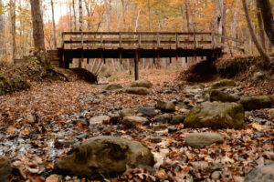
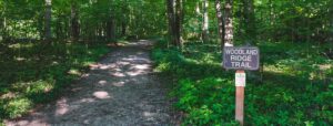
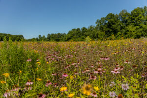
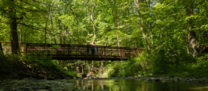
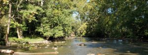
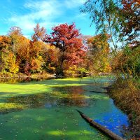
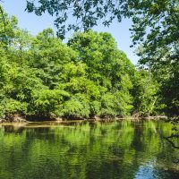
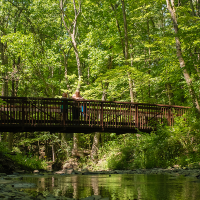
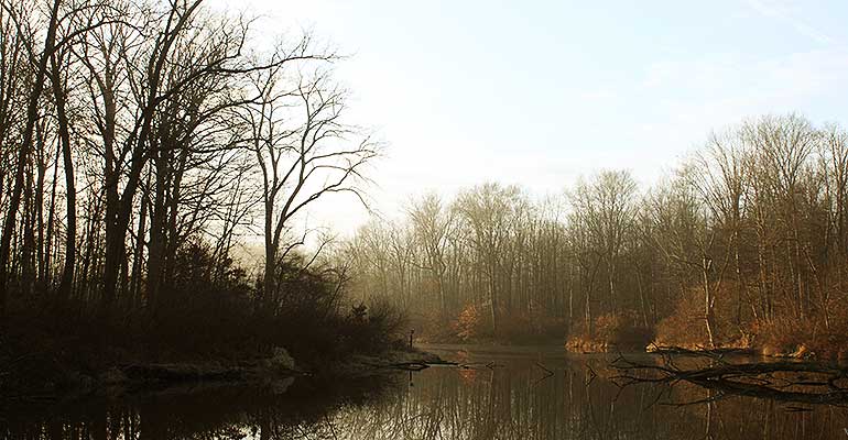
A trail that winds up and down and along a ravine system characterizes Char-Mar Ridge Park, located in Genoa Township. Visitors will notice the meandering stream – and footprints of many animals and birds that walk along its banks. Glacial erratics, remnants of the Wisconsinan Glacier that retreated from central Ohio thousands of years ago, are scattered here and there.

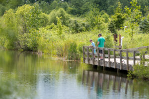
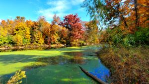
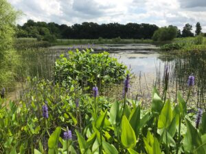
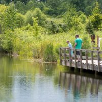
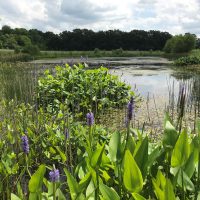
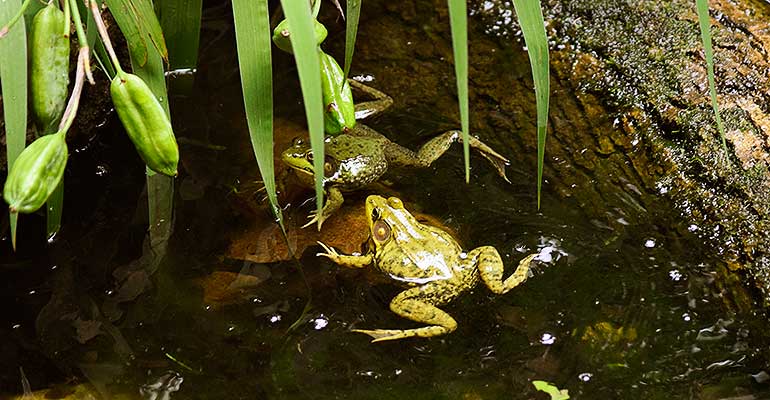
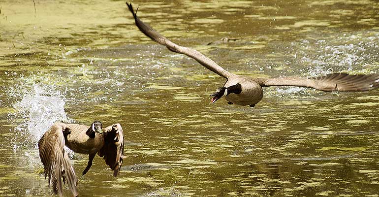
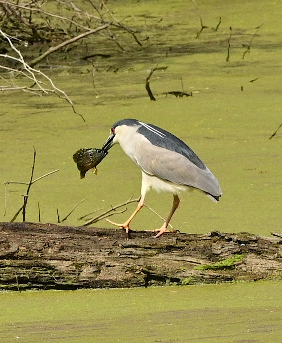
Watch for woodland wildlife, including white-tailed deer, wild turkeys, and woodpeckers. A large pond features a wildlife blind where park visitors can view waterfowl, including great blue herons, green herons, and diving and dabbling ducks. Wood duck boxes are situated near the shore to support the population of these brightly-feathered perching ducks.

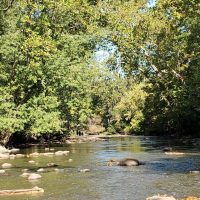
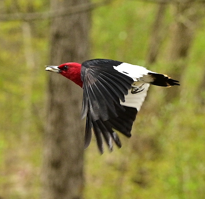
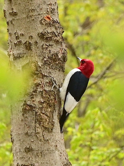
Birds, including red-headed woodpeckers and Baltimore orioles, visit the feeders near the wildlife blind. Beavers and turtles also inhabit this pond. The park is home to Jefferson and small-mouthed salamanders, and two-lined salamanders have been found in the creek, attesting to the high water quality.

Along the Glacier Ridge Trail is a Natural Play Area. Here, kids of all ages can jump from stump to stump, enjoy a hut made of sticks, and find other creative ways to have fun in the outdoors.

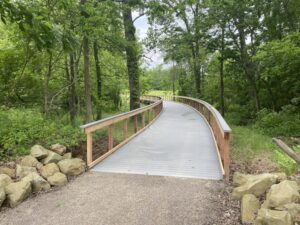
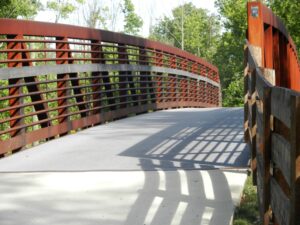
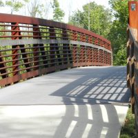
The Genoa Multiuse Trail, part of the Ohio to Erie Trail, crosses the western edge of the park. 

Char-Mar Ridge Park was acquired through a bargain sale of 113 acres in 2000, and fifteen adjoining acres were purchased in 2003. The park opened in 2007. Enjoy a paved and expanded parking lot completed in 2021.

Trail Information

Glacier Ridge Trail (Gravel Trail)

Approximate walking time: 45 minutes; moderate elevation changes
Leashed dogs are allowed on this trail.

Beginning at the parking lot, this 1.7-mile gravel trail winds through a mature woods and along ridges formed by the Wisconsinan Glacier thousands of years ago. The trail crosses forested ravines and passes by wooded wetlands as it traverses the park. The trees are mainly oak, beech, maple and hickory species. A wildlife blind allows visitors to watch wildlife on the pond in the center of the park. As you walk, you may see signs of deer, beavers, squirrels, coyotes, and raccoons. A variety of songbirds and woodpeckers can be observed, as well as several species of wildflowers during the appropriate season. Several distance markers will keep you informed as to your progress along the trail. Look for tree identification signs, and natural indicators – such as tracks and scat – to see what woodland creatures are afoot.

Park Location

Char-Mar Ridge Park Gallery

Share This Park:

Parks

Blues Creek Park

Prairies, a sparkling creek, forested areas and wetlands characterize Blues Creek, which is named for the creek that meanders along the park’s northern edge.

Char-Mar Ridge Park

A trail that winds up and down and along a ravine system characterizes this popular park located in Genoa Township.

Deer Haven Park

A bird lover’s paradise! Visit the injured birds of prey at the aviary, immerse yourself in a wildlife viewing blind, or stop by the Visitor Center.

Emily Traphagen Park

With its tall trees, wetlands, pond and meadows, beautiful Emily Traphagen Park provides a respite from the suburban development around it.

Gallant Farm

Time travel to a representation of a Depression-era farm that includes a farmhouse, livestock, gardens and crops.

Gallant Woods Park

Old growth woods, meadows, restored prairies and wetlands, and wetland woods characterize this popular park along with a sledding hill, reservable shelter and playground.

Hickory Woods Park

The former agricultural fields on this 115-acre site have been transformed into wetlands and prairies and reforested with oak and hickory trees.

Hogback Ridge Park

This beautiful wooded park includes trails that wind through a ravine system with hardwood and pine trees, and a bridge spanning a scenic ravine.

Ohio to Erie Trail

The Ohio to Erie Trail is a primarily off-street recreational trail that, when completed, will span the state of Ohio from Cincinnati to Cleveland. For the most part, it follows land formerly occupied by railroads and canals.

River Run Park

Put-in location for kayaks and canoes Beginning with headwaters as far north as Richland

Shale Hollow Park

Named for the curve in the tributary to the Olentangy State Scenic River that runs through the park, and for the shale evident in the cliff walls and stream bed.

Sycamore Run Park

Launch your kayak, go fishing and enjoy the beautiful views along the banks of the Olentangy River.

Trail Map

Parks

Prairies, a sparkling creek, forested areas and wetlands characterize Blues Creek, which...
A bird lover’s paradise! Visit the injured birds of prey at the...
With its tall trees, wetlands, pond and meadows, beautiful Emily Traphagen Park...
Time travel to a representation of a Depression-era farm that includes a...
Old growth woods, meadows, restored prairies and wetlands, and wetland woods characterize...
The former agricultural fields on this 115-acre site have been transformed into...
This beautiful wooded park includes trails that wind through a ravine system...
The Ohio to Erie Trail is a primarily off-street recreational trail that,...
Put-in location for kayaks and canoes Beginning with headwaters as far north...
Named for the curve in the tributary to the Olentangy State Scenic...
Launch your kayak, go fishing and enjoy the beautiful views along the...