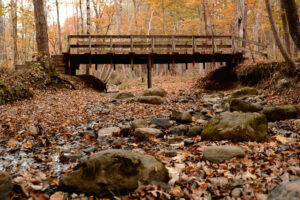
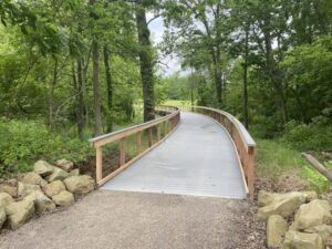
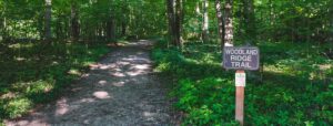
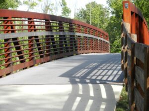
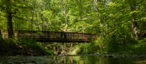
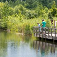
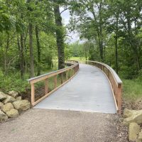
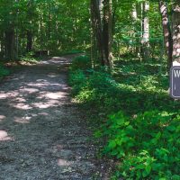
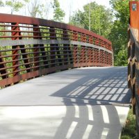
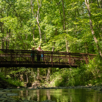
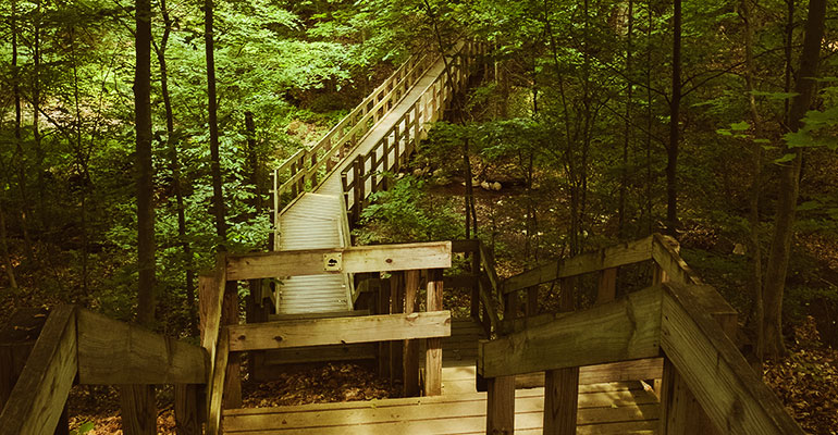
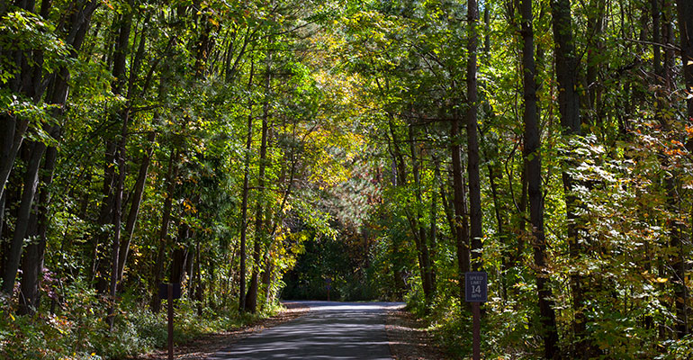
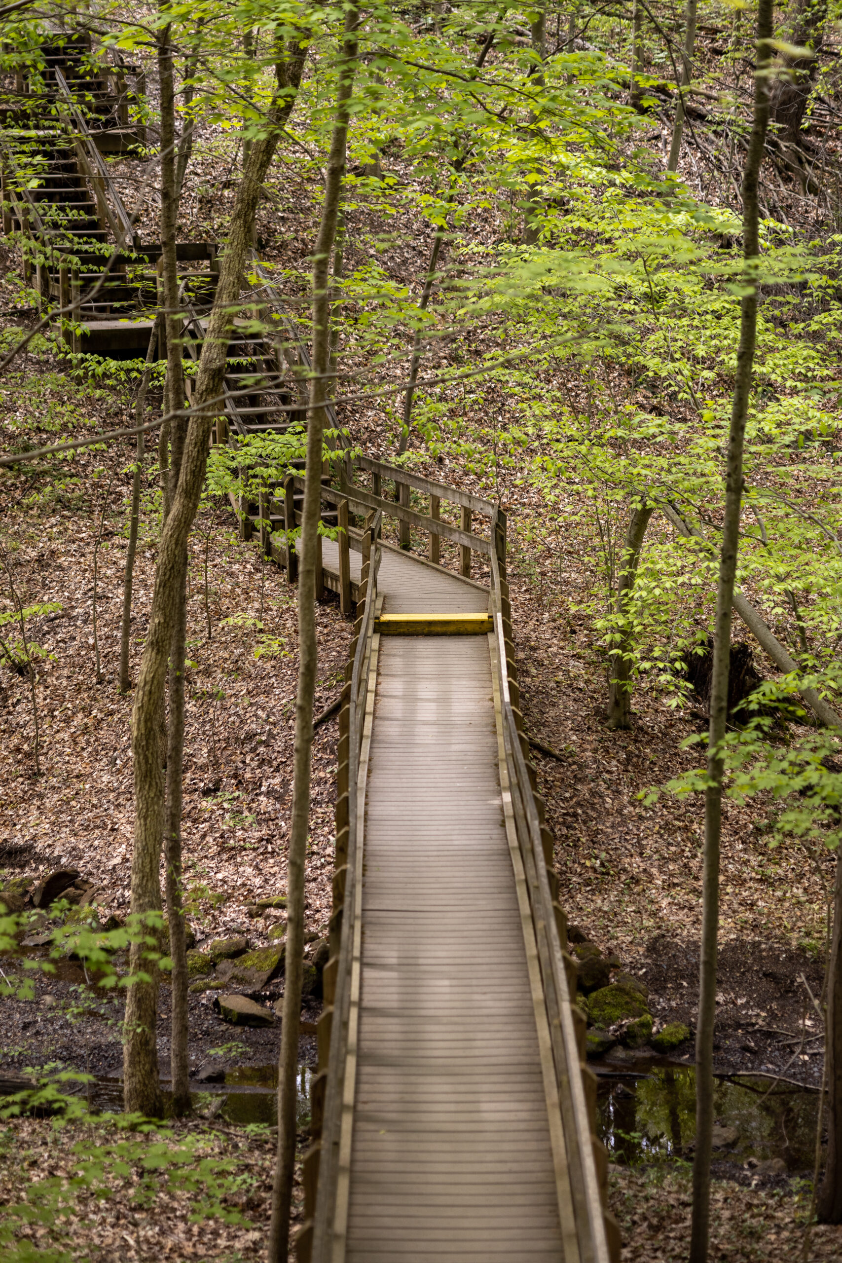
This beautiful wooded park includes trails that wind through a ravine system with hardwood and pine trees, and a bridge spanning a scenic ravine. White tail deer, wild turkeys and many other species of birds – including pileated woodpeckers – make their home in the park.
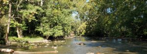
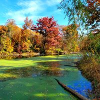
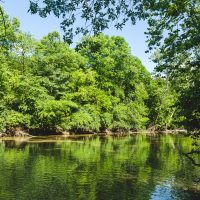
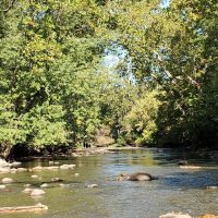
Glaciation, which occurred during the last Ice Age, helped shape the park by creating ridges, and melt water from the glaciers helped carve the stream beds.
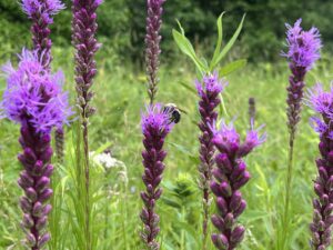
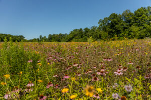
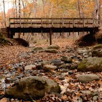
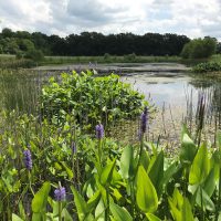
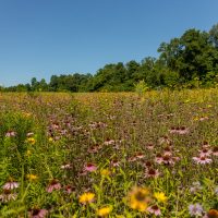
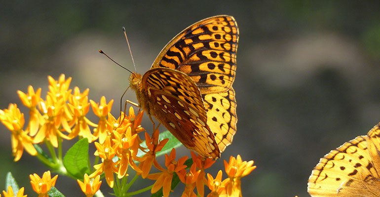
Many species of woodland wildflowers fill the forest floor in the spring. Look for trillium, Dutchman’s breeches, mayapples, and more in April and May.
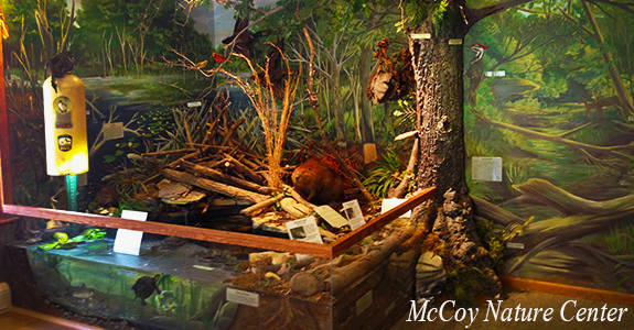
The park houses the Mary Barber McCoy Nature Center, where park visitors can watch birds at a viewing area, learn about how osprey were brought back to adjacent Alum Creek Reservoir, and see numerous taxidermied wildlife.
The initial 32 acres in Hogback Ridge Preserve were left to Preservation Parks in the estate of Mary Barber McCoy in 1998. The Park District later purchased an adjoining nine acres, bringing the total to 41 acres. The park opened to the public in 2002.
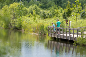
Leashed pets are allowed on the trails, and owners must clean up after them.
