Please ensure Javascript is enabled for purposes of website accessibility

Shale Hollow Park

6320 Artesian Run, Lewis Center, OH 43035

Amenities

Park Size

211 Acres

Hours of Operation

Discover Your Park

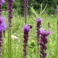
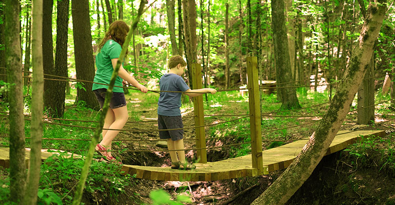
HIKE AND SEEK ACTIVITY – In this activity organized by Girl Scout Troop #1228, adventurers will navigate the natural play area and use the clues in the pamphlet to finish the activity. When walking around the play area, find posts and look through the clues to learn more about each organism or object. Click here for the pamphlet

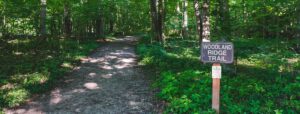
NOTE: Leashed dogs are allowed on the Great Horned Owl Trail and the northern loop of the Overlook Trail, but you must clean up after your pets. The northern loop of the Overlook Trail is only accessible from multi-use trails along Hyatts Road. Pets are NOT allowed in the creek/natural play area.

About Shale Hollow Park

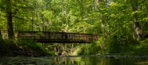
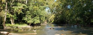
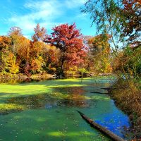
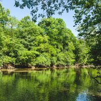
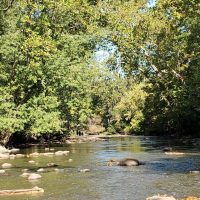
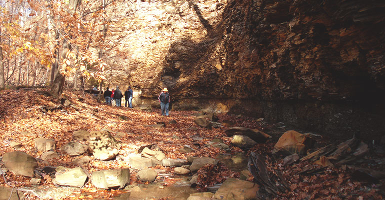
Located in a rapidly growing area of Liberty and Orange townships, Shale Hollow Park is named for the curve in the tributary to the Olentangy State Scenic River that runs through the park, and for the shale evident in the cliff walls and stream bed.

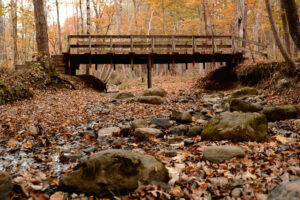
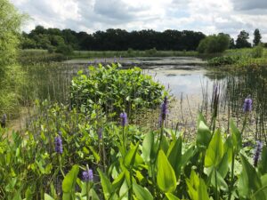
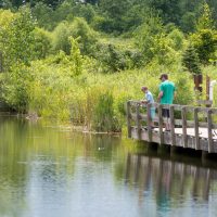
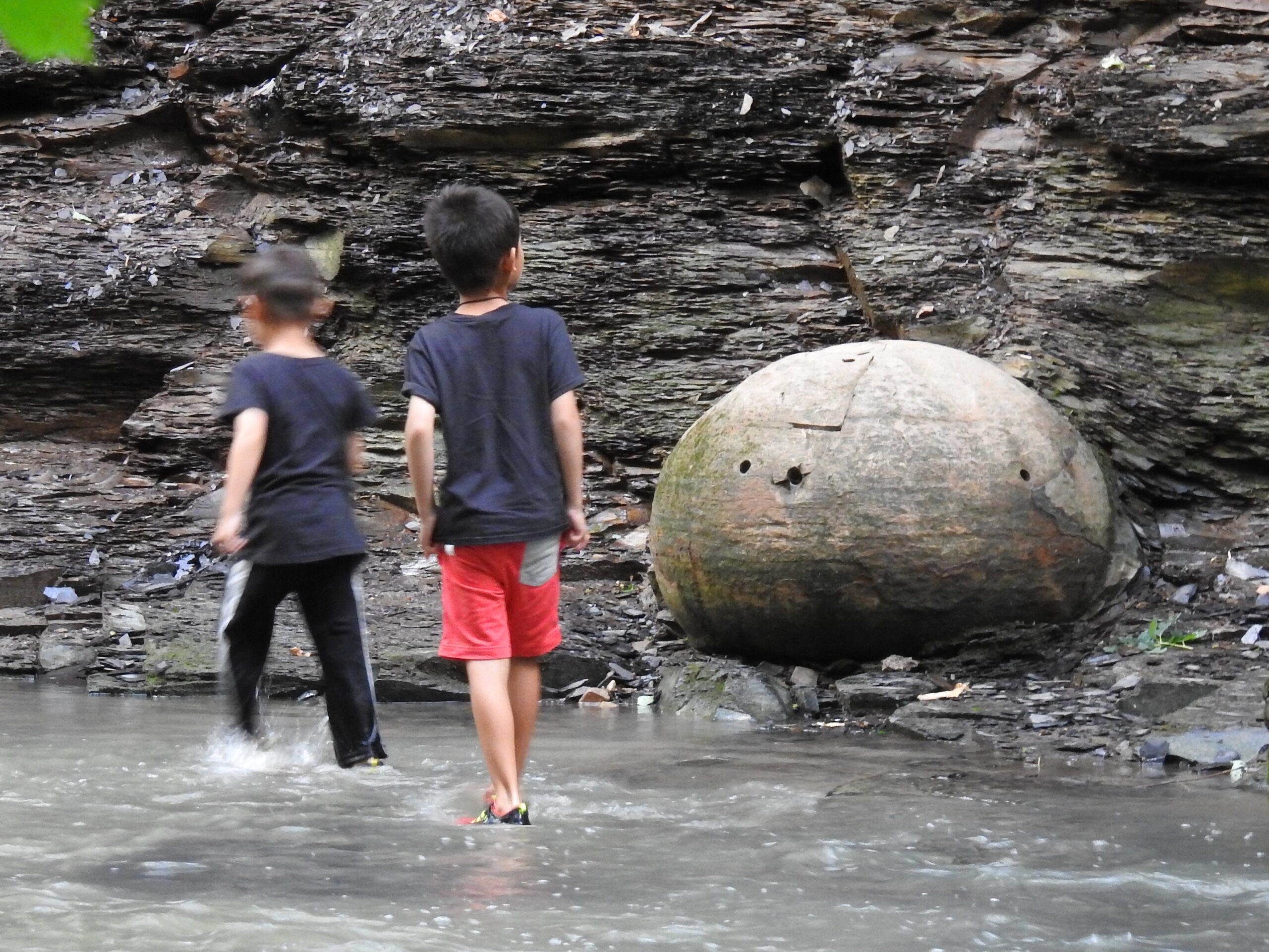
The Shale Hollow stream winds along a twisting corridor lined by 20- to 40-foot-tall shale cliffs. You can see many remnants of concretions (round rock formations) in the cliffs and along the stream bed. The stream is filled with pieces of Ohio shale that have eroded out of the cliffs and continually wash down the creek. The shale is nicknamed “potato chip shale” due to its brittle nature. There are also intermittent waterfalls in the park.

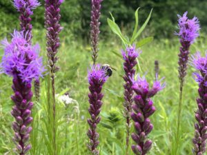
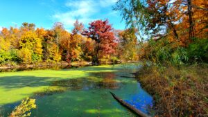
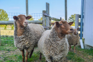
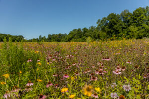
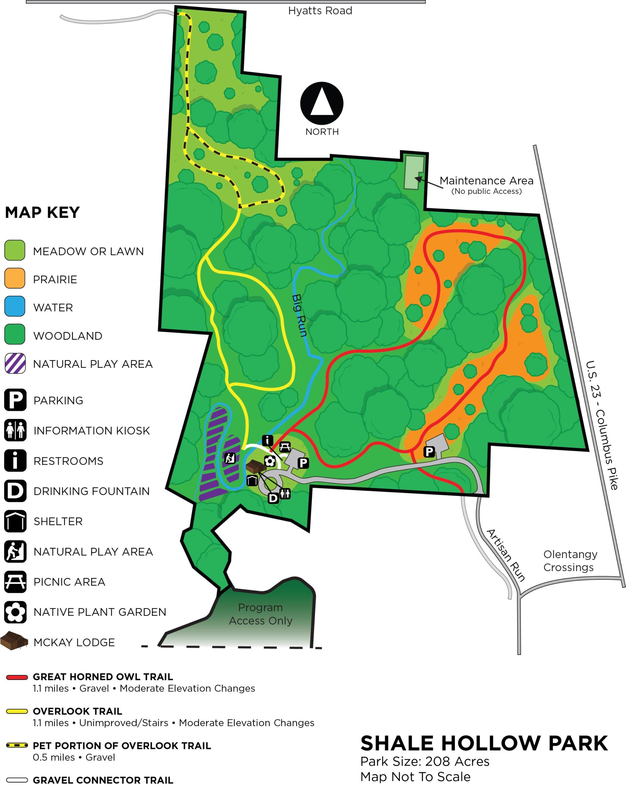
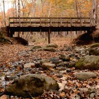
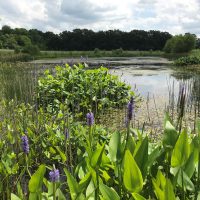
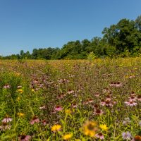
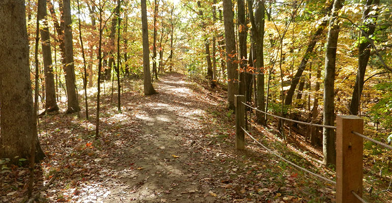
Visitors will see a mature white oak forest in the eastern half of the park, along with large stands of hickory and maple. Spring wildflowers include the large white trillium, blue cohosh, and yellow-trout lily. Wildlife you might encounter include: a large assortment of birds, such as barred owls and pileated woodpeckers; migrating neo-tropical songbirds, such as the hooded warbler and Acadian flycatcher; whitetail deer, raccoons and coyotes; and amphibians, such as the two-lined salamander.

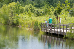
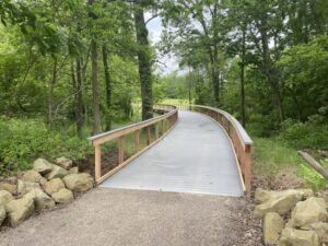
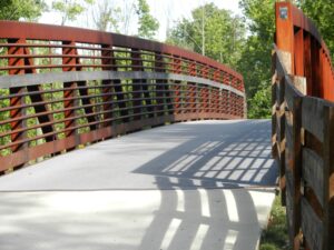
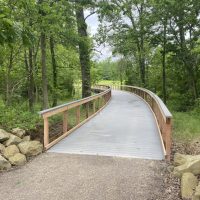
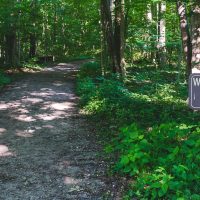
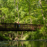
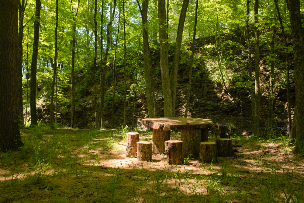
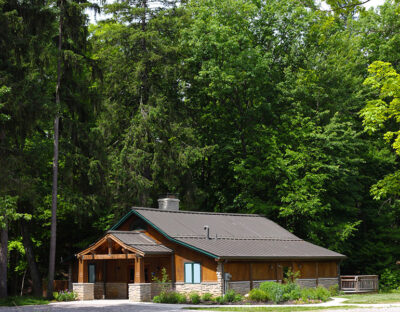
Shale Hollow includes  off-trail exploration and natural play areas. The building is available for business meeting rentals; scroll down for more information.

The park land was acquired gradually, from 2004 to 2015, through a combination of park levy funds, grants and loans.

For a list of flora and fauna species found during a 24-hour Shale Hollow BioBlitz in 2015, click HERE

Trail Information

Great Horned Owl Trail (Gravel Trail)

Approximate walking time: 45 minutes; moderate elevation changes
Leashed dogs are allowed on this trail.

This 1.1-mile gravel trail winds up and down hill among the large white and red oak trees that top the shale cliffs, then loops through meadows that are being reforested. You’ll see American beech, American hazelnut, sassafras, serviceberry and spicebush in the understory. Sycamore, cottonwood and Ohio buckeye grow in the Big Run floodplain. Depending on the season, watch and listen for wild turkeys, red-bellied woodpeckers, great horned owls, gray treefrogs and a variety of migrating songbirds.

Overlook Trail (Gravel Trail)

Approximate walking time: 35 minutes; moderate elevation changes with one steep rise.
Leashed dogs are allowed on this trail only on the northern loop, near Hyatts Road.

The southern half of this 1.0-mile trail begins at the base of a cliff walk and rises steeply to the top, where it overlooks a bend in Big Run creek. From there, it extends north in two loops: the first – an unimproved trail – circles through woodland and affords beautiful views of the Big Run Creek ravine. The second, northern loop is mowed and connects to a walking path along Hyatts Road. Pets are allowed on the northern loop, with access only from Hyatts Road. Pets are not allowed on the southern half of this trail.

Off-Trail Exploration Area

Pets are not allowed in this area.

Park visitors are invited to cross the bridge to get off-trail and explore the floodplain (striped purple section of the map). Wade in the creek and touch the shale pieces that have washed down from upstream, and observe the layers of shale that compose the cliffs rising from the creek. Please respect that barriers preventing downstream exploration; much of the creek beyond the barrier is on private property.

A natural play area is located in the off-trail exploration space. Kids can cross a primitive bridge, play games and enjoy a snack at the log table, as they the explore nature in a whole new way.

Park Location

Shale Hollow Park Gallery

Share This Park:

Parks

Blues Creek Park

Prairies, a sparkling creek, forested areas and wetlands characterize Blues Creek, which is named for the creek that meanders along the park’s northern edge.

Char-Mar Ridge Park

A trail that winds up and down and along a ravine system characterizes this popular park located in Genoa Township.

Deer Haven Park

A bird lover’s paradise! Visit the injured birds of prey at the aviary, immerse yourself in a wildlife viewing blind, or stop by the Visitor Center.

Emily Traphagen Park

With its tall trees, wetlands, pond and meadows, beautiful Emily Traphagen Park provides a respite from the suburban development around it.

Gallant Farm

Time travel to a representation of a Depression-era farm that includes a farmhouse, livestock, gardens and crops.

Gallant Woods Park

Old growth woods, meadows, restored prairies and wetlands, and wetland woods characterize this popular park along with a sledding hill, reservable shelter and playground.

Hickory Woods Park

The former agricultural fields on this 115-acre site have been transformed into wetlands and prairies and reforested with oak and hickory trees.

Hogback Ridge Park

This beautiful wooded park includes trails that wind through a ravine system with hardwood and pine trees, and a bridge spanning a scenic ravine.

Ohio to Erie Trail

The Ohio to Erie Trail is a primarily off-street recreational trail that, when completed, will span the state of Ohio from Cincinnati to Cleveland. For the most part, it follows land formerly occupied by railroads and canals.

River Run Park

Put-in location for kayaks and canoes Beginning with headwaters as far north as Richland

Shale Hollow Park

Named for the curve in the tributary to the Olentangy State Scenic River that runs through the park, and for the shale evident in the cliff walls and stream bed.

Sycamore Run Park

Launch your kayak, go fishing and enjoy the beautiful views along the banks of the Olentangy River.

Trail Map

Facility Information

Reservable Indoor Facility
Capacity: 40

  • Outdoor Deck access upon request
  • Kitchen access (dishwasher, refrigerator, microwave, coffee makers, utensils)
  • Video screen available
  • Tables & Chairs

NonReservable Outdoor Facility
Capacity:
Maximum 30

Due to high park visitation and parking limitations, the picnic shelter is only available on a first come, first-serve basis for small social events, business meetings, and drop in picnicking. Preservation Parks also uses it for programming throughout the year.

NOTE: Parking is limited; carpooling is recommended

  • Restrooms
  • Four picnic tables
  • Electricity in shelter
  • Drinking fountain

Parks

Prairies, a sparkling creek, forested areas and wetlands characterize Blues Creek, which...
A bird lover’s paradise! Visit the injured birds of prey at the...
With its tall trees, wetlands, pond and meadows, beautiful Emily Traphagen Park...
Time travel to a representation of a Depression-era farm that includes a...
Old growth woods, meadows, restored prairies and wetlands, and wetland woods characterize...
The former agricultural fields on this 115-acre site have been transformed into...
This beautiful wooded park includes trails that wind through a ravine system...
The Ohio to Erie Trail is a primarily off-street recreational trail that,...
Put-in location for kayaks and canoes Beginning with headwaters as far north...
Named for the curve in the tributary to the Olentangy State Scenic...
Launch your kayak, go fishing and enjoy the beautiful views along the...